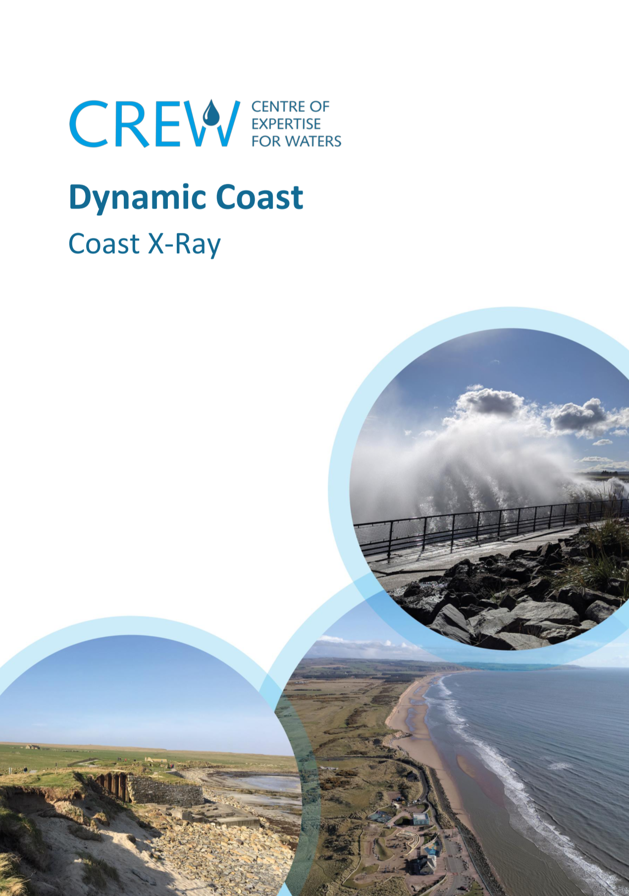
Research Summary
An introduction to the research
The report is available from www.crew.ac.uk/dynamic-coast.
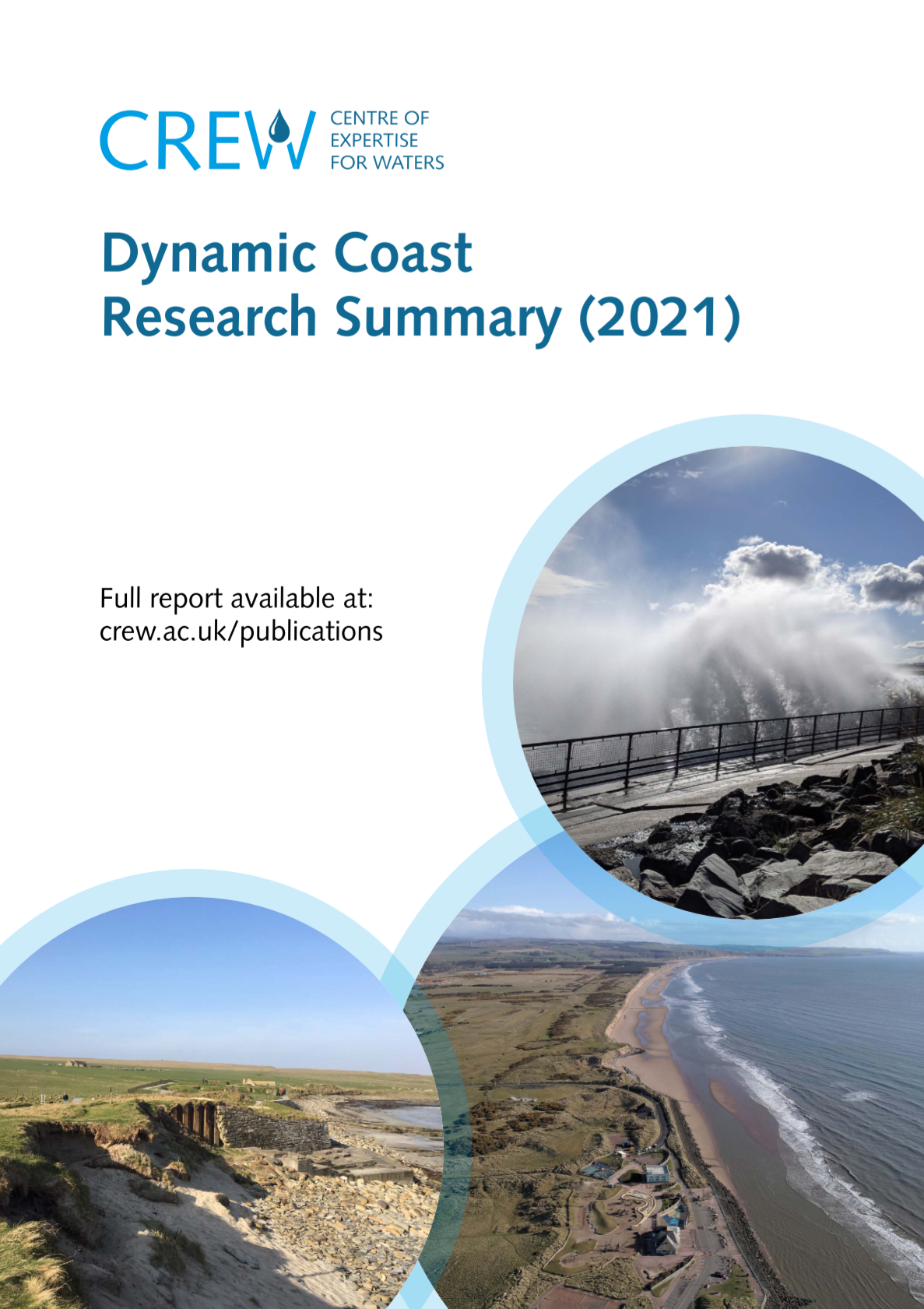
National Overview
The National Overview summarises the results and is a good place to understand the research outputs.
The report is available from www.crew.ac.uk/dynamic-coast.
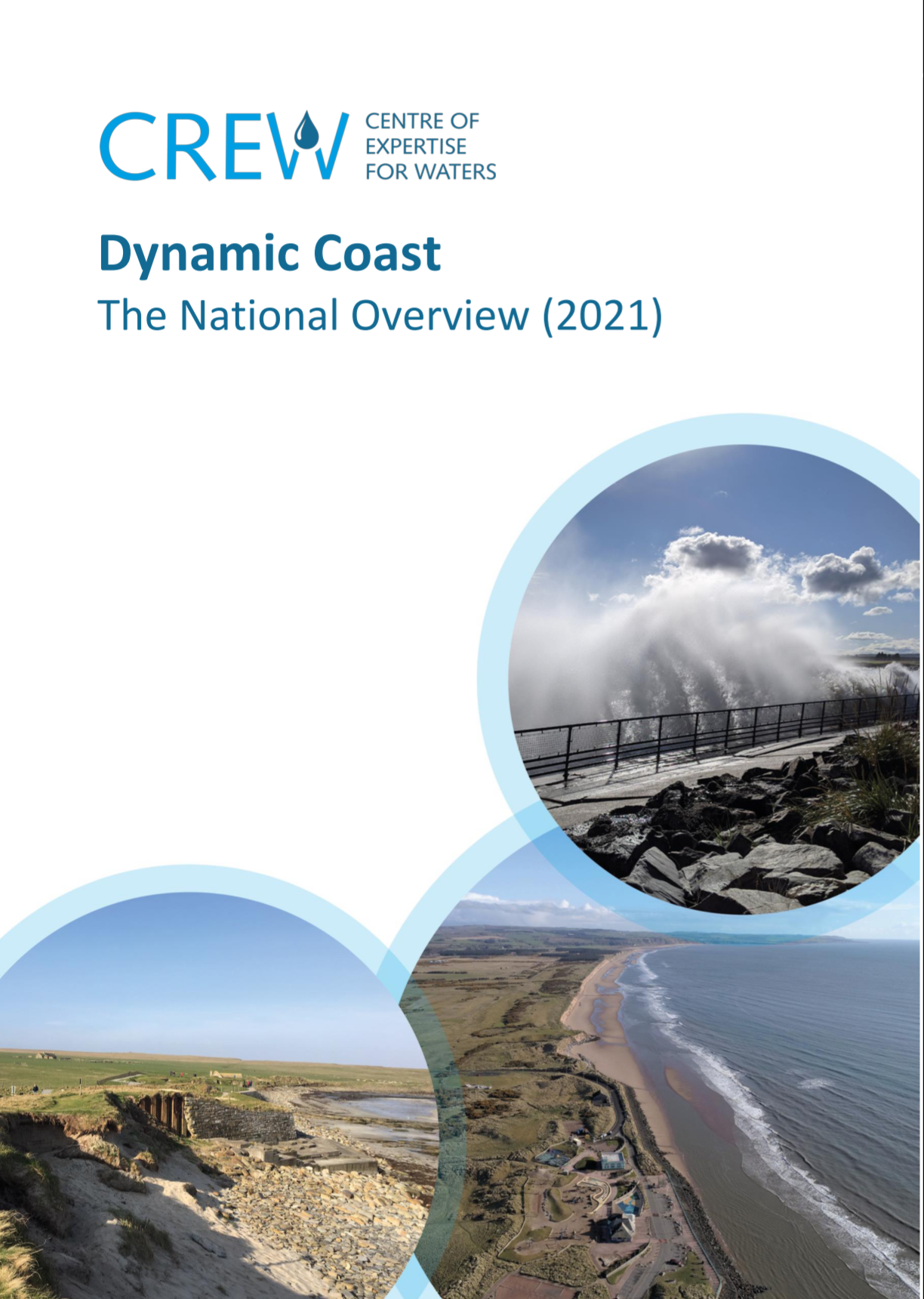
Erosion Enhanced Flooding
Technical Annex Work Stream 1
Coastal erosion can influence the areas at risk from coastal flooding. This report summarises methods and results.
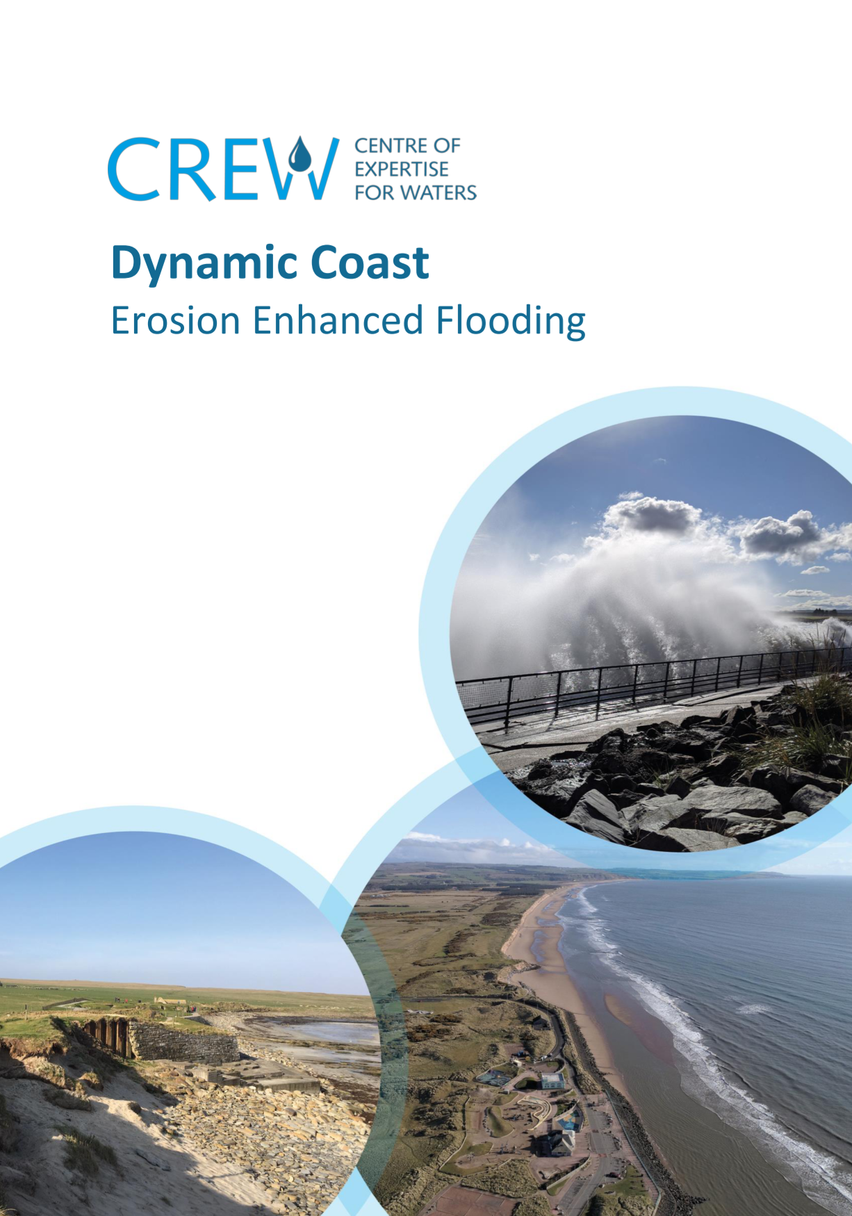
Future Coastal Change
Technical Annex Work Stream 2
Climate change is expected to increase the extent and rate of coastal erosion. This report summarises the evidence base, methods and results for present and anticipated coastal erosion up to 2100.
National Coastal Erosion Risk Assessment
Technical Annex Work Stream 2RA
A lot of our infrastructure lies within potentially erodible sections of our coast. This report summarises the coincidence of society's coastal assets and anticipated coastal erosion.
Enhanced Change Analysis
Technical Annex Work Stream 3
Whilst mapped shorelines form the basis of our national analyses, the seaward edge of vegetation, provides a helpful additional line to inform change assessments. This report summarises traditional and novel methods of surveying these features.
Super Site Reports
Technical Annex Work Stream 4
Complementing the national-scale assessments, we have worked with local partners to appreciate local changes at a number of super sites. These reports show how we can use Dynamic Coast research to inform resilience and adaptation plans across a number of locations.
Sector Summary Reports
Technical Annex Work Stream 5
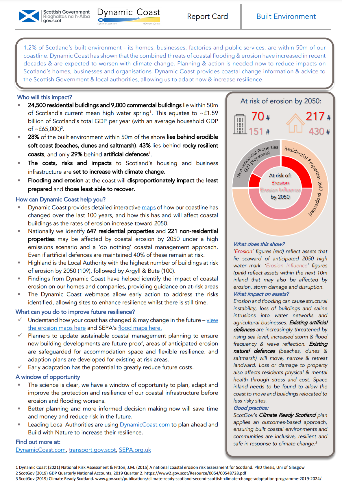
The benefit of updated national analysis, is re-appraising the risk to society's assets. These one-page reports summarise possible impacts for various sectors of a precautionary baseline assessment (including 'do nothing coastal management' and a High Emissions Scenario).
Mapping Coastal Erosion Disadvantage
Technical Annex Work Stream 6
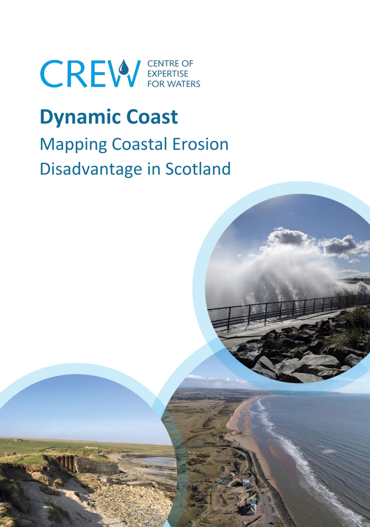
Scotland's coastal communities are varied, and for the first time their social vulnerability to coastal erosion has been analysed. The coastal erosion disadvantage mapping explores the interaction of social vulnerability and coastal erosion.
Coast X-Ray
Technical Annex Work Stream 7
National scale mapping of the coast is expensive and challenging. Dynamic Coast has developed a tool which us satellite data to map the intertidal zone. Coast X-Ray is a step change in the national coverage and currency of intertidal mapping on all beaches, however remote or unstudied. It allows previously ‘too expensive to answer’ questions to be answered at a fraction of the cost.
